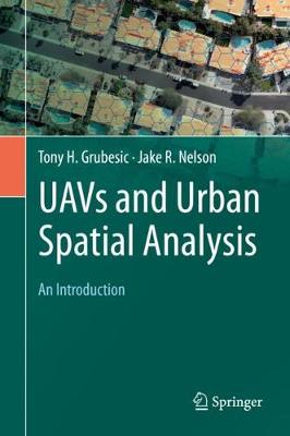
UAVs and Urban Spatial Analysis:An Introduction
无人机与城市空间分析:导论
市政工程
¥
2006.00
售 价:
¥
1504.00
优惠
平台大促 低至8折优惠
发货周期:预计8-10周发货
作 者
出版时间
2020年02月21日
装 帧
精装
页 码
192
语 种
英文
综合评分
暂无评分
- 图书详情
- 目次
- 买家须知
- 书评(0)
- 权威书评(0)
图书简介
This book provides an introduction to the use of unmanned aerial vehicles (UAVs) for the geographic observation and spatial analysis of urban areas. The velocity of urban change necessitates observation platforms that not only enhance situational awareness for planning and allied analytical efforts, but also provide the ability to rapidly and inexpensively collect data and monitor change. UAVs can accomplish both of these tasks, but their use in urban environments is loaded with social, operational, regulatory and technical challenges that must be addressed for successful deployments.The book provides a resource for educators and students who work with geographic information and are seeking to enhance these data with the use of unmanned aerial vehicles. Topics covered include, 1) a primer on UAVs and the many different ways they can be used for geographic observation, 2) a detailed overview on the use of aviation maps and charts for operating UAVs in complex urban airspace, 3) techniques for integrating UAV-derived data with more traditional geographic information, 4) application of spatial analytical tools for urban and environmental planning, and 5) an exploration of privacy and public safety issues associated with UAV operation.
本书暂无推荐
本书暂无推荐
看了又看


- 上一个