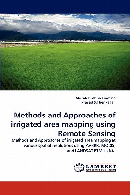
Methods and Approaches of Irrigated Area Mapping Using Remote Sensing
农业史
¥
1942.00
售 价:
¥
971.00
优惠
平台大促 低至8折优惠
发货周期:外国库房发货,通常付款后3-5周到货
出版时间
2011年05月09日
装 帧
页 码
156
开 本
9.00 x 6.00 x 0.36
语 种
英文
综合评分
暂无评分
- 图书详情
- 目次
- 买家须知
- 书评(0)
- 权威书评(0)
图书简介
Methods and approaches of mapping irrigated areas at different resolutions using remote sensing data. Irrigated areas were mapped using: (a) AVHRR pathfinder 10-km data, (b) MODIS 500-m (c) MODIS 250-m and (d) Landsat 30-m data. The study was conducted in the Krishna River, India using satellite sensor data for nominal year 2000. The methods analyzing multiple sensors data, time-series and consisted of image segmentation approaches using SRTM data, creation of mega-file data cube, spectral matching techniques, ideal spectra data b
本书暂无推荐
本书暂无推荐
